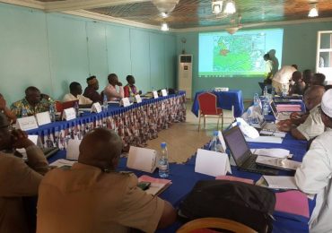
From April4to 16, 2016 some staff of ERuDeF joined other civil society actors at a training workshop in Kumba on mapping of customary land and forest governance in the Congo Basin. The training organizedat the Presbyterian High School (PHS) Kumba was aimed to reinforce the capacities of administrative personnel, members of the civil society and others to acquire the necessary knowledge to accompany communities in the activities of forest mapping. The workshop brought together participants from NGOssuch as ERuDeF, FODER, AJESH, and local administrators from Kumba I Council, Nguti, Mbonge, Tinto Councils and FORUDEF.
By Floribert…
Forest exploitation, mining, increasing rate in the creation of agro-industries in the forest reserves and protected areas in the Congo Basin expose 50 million inhabitants (about 700,000 hunter-inhabitants) who depend on these forests to lose their natural habitats, without the respect of their rights and the suppression of their cultural identity. The forests also play a vital role in climate regulation in this entire region, a carbon sink of great importance worldwide and a large biodiversity reserve. It is against this backdrop of the possible abuse of the Congo Basin forest resources that the workshop was organized.
The training is part of a project: Mapping and Forest Governance in the Congo Basin implemented in Cameroon by AJEMALIBU Self Help (AJESH) in the Southwest Region and Forest and Rural Development (FODER) at the national level with the support of Rainforest Foundation UK.
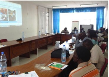
The aims of this programme are; the reduction of poverty, contribute to the sustainable management of natural resources and the amelioration of forest governance in the Congo Basin, amongst others.
The participants were trained to discover and understand the project “Mapping and Forest Governance”; have a deep understanding on the methods to assist communities in the mapping of their forests; know and apply the tools at all stages of the mapping process; understand stakeholders and explain mapping for rights; master geographic information and (GIS) Global Information System; optimize their competence on the use of the software Qgis for the treatment of data as well as reinforce their capacities on geographic and monographic data collection in the field.
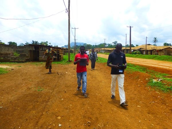
The participants were thus trained through illustrations; participatory activities such as case study, simulations, group discussions; exchange of ideas on particular subject matters; practical phase in communities and evaluation on what had been studied. They were shown how to use the GPS tablets in the collection of data and initiated on the use of Qgis to produce participatory community maps.
After five days of practice at Kombone Mission village, the participants were capable to select and train some members of the village on how to use a tablet GPS in the collection of field data. Thereafter, the local cartographers were sent to collect GPS points in the entire village, which took them three days.
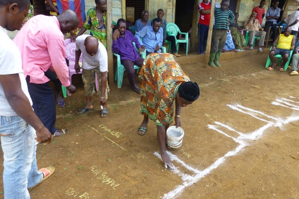
As a result, the ERuDeF staff produced the land use map of Kombone Mission village.
At the end of it all, the community was happy as they received the map showing all the village and its activities and they said it would permit them to better know the village.