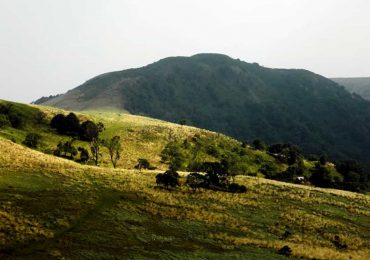
Assessing and mapping the state of land degradation is a necessary step before any prevention, restoration or land protection policy is undertaken. This action makes it possible to plan, implement and evaluate the results and impacts of the interventions at hand, therefore, portraying the importance of using land use/land cover assessment.
The results must be readily available to policy makers, which will help them implement policies to prevent degradation and/or restore restoration of degraded lands.
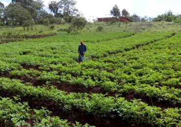
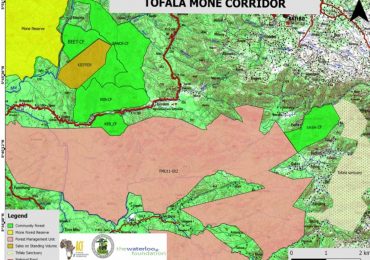
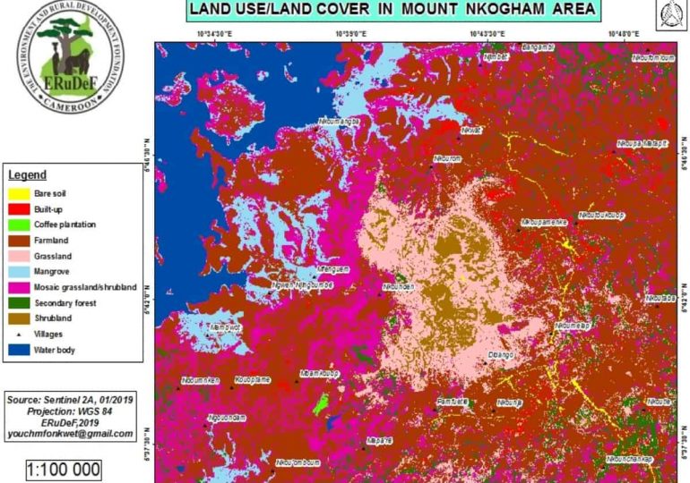
Land use/land cover has been evaluated in the implementation sites of the forest garden project in Cameroon. Ground truth data was collected using GPS . Data processing enabled us to identify the different land uses and define the sites to be restored. The map below shows the different land use /land cover in Mount Nkogham and its surrounding villages. Areas of intervention can be easily identified on this map.
By M. Younchahou